


Core Capabilities
Well Planning
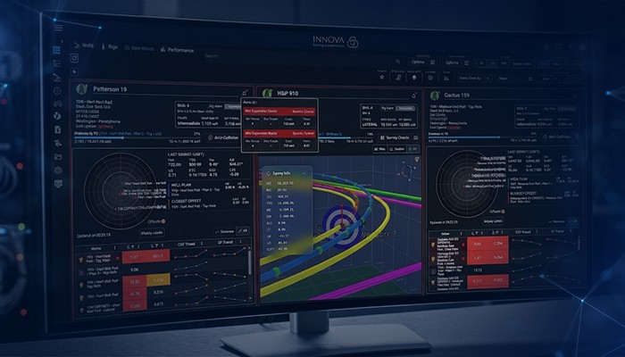
Anti-Collision
Directional
Reporting

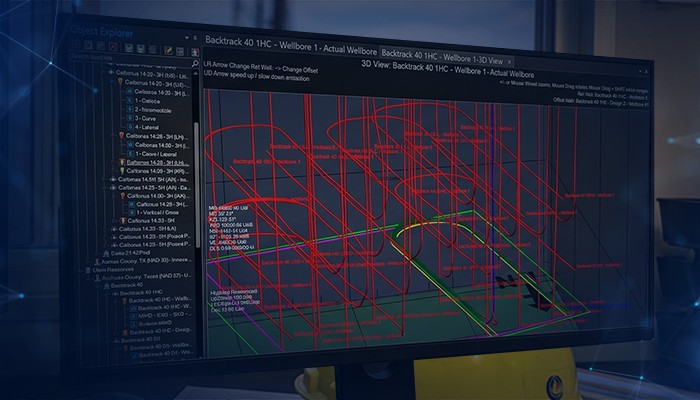
Optimized Well Trajectory Design
A powerful and comprehensive suite of well planning tools designed to handle the full scope of trajectory design. Create any well type with precision, generate complete wall plots, and ensure standardized data entry for consistent and efficient planning workflows.

2D & 3D Well Planning Tools
Comprehensive well planning tools, including Dogleg Tool Face, Build and Turn, and Optimum Align using Curve-Hold-Curve or Curve-Curve methods. Features include target alignment at specified inclination/azimuth, one-click S-Well and Slant Well construction, automatic lease line intersection calculations, and 330' perpendicular projections.
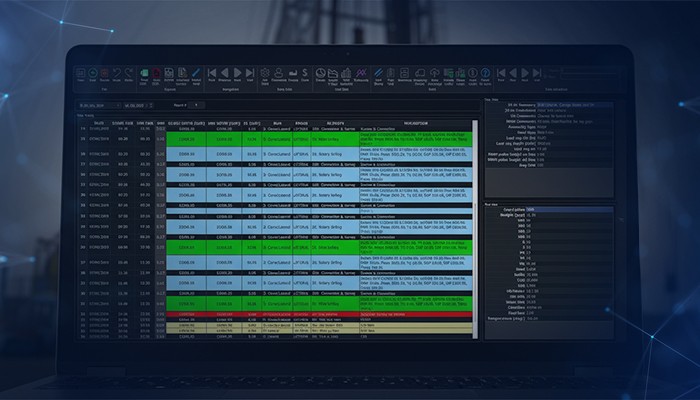
Charts & Output Reports
Wall Plot Composer (WPC) enables users to create customizable wall plots with data tables and company logos. PvA plots can be printed directly from the main UI without opening WPC. User-defined, fully customizable PDF and Excel reports include Standard Survey, Geographic Survey, Anti-Collision, Ellipse of Uncertainty (EOU), and Texas RRC-compliant Survey Certification reports.
Magnetics & Coordinate Systems
Includes World Magnetic Model and IGRF model as standard. Fully supports BGGM, HDGM and mvHD. Integrated with BGS Hypercube IFR and BGGM Error Estimates. Supports all global coordinates and projection systems, as well as NAD83/NAD27 conversions.
Third-Party Compatibility
Easily import data directly from other widely used industry platforms, including Compass EDM, Baker Hughes, and SLB. Supports both individual well and batch imports for efficient data transfer and project setup. This high level of compatibility reduces manual data entry, minimizes errors, and accelerates the planning process.
